Geolocate

Rabac topographic map

Click on the map to display elevation.

About this map

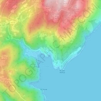
Name: Rabac topographic map, elevation, terrain.

Location: Rabac, Grad Labin, Istria County, 52221, Croatia (45.06091 14.13896 45.10091 14.17896)

Average elevation: 134 m

Minimum elevation: -2 m

Maximum elevation: 392 m

Gear up for your next adventure:

👖Packable Overtrousers - Quick-deploy rain protection for legs in sudden storms
🧷Tenacious Repair Tape - Instant fix for torn tents, jackets, or dry bags
🧗Locking Carabiners - Secure gear to your pack or for light technical use
📻Hand-Crank Emergency Radios - Stay updated on weather warnings in remote areas
🧢Waterproof Hiking Hats - Keep the rain off your face while studying topographic maps

As an Amazon Associate, this site earns from qualifying purchases at no extra cost to you.