
Geneva topographic map
Interactive map
Click on the map to display elevation.
About this map
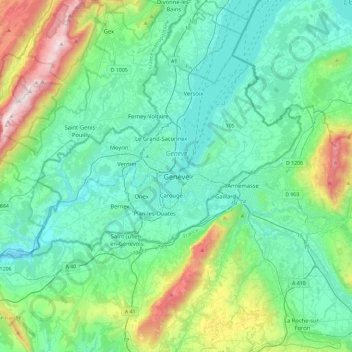
Name: Geneva topographic map, elevation, terrain.
Location: Geneva, 1204, Switzerland (46.04176 5.98660 46.36176 6.30660)
Average elevation: 608 m
Minimum elevation: 326 m
Maximum elevation: 1,708 m