Geolocate

Clonee topographic map

Click on the map to display elevation.

About this map

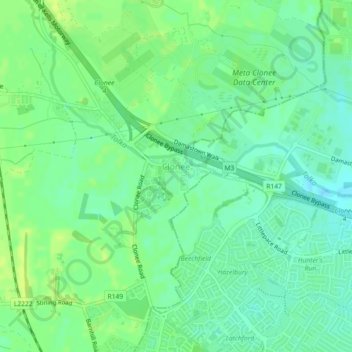
Name: Clonee topographic map, elevation, terrain.

Location: Clonee, County Meath, Leinster, Ireland (53.40637 -6.44625 53.41295 -6.43391)

Average elevation: 65 m

Minimum elevation: 57 m

Maximum elevation: 73 m

Other topographic maps

Click on a map to view its topography, its elevation and its terrain.

Hill of Tara

Ireland > County Meath

Average elevation: 106 m

Glenmore Forest

Ireland > County Meath

Average elevation: 46 m

Hill of Down

Ireland > County Meath

Average elevation: 73 m

Fox Covert

Ireland > County Meath

Average elevation: 74 m

Castletown

Ireland > County Meath

Average elevation: 72 m

Kells

Ireland > County Meath > Kells

Average elevation: 70 m

Dunshaughlin

Ireland > County Meath > Dunshaughlin

Average elevation: 99 m

Bettystown

Ireland > County Meath

Average elevation: 6 m

Dunboyne

Ireland > County Meath > Dunboyne

Average elevation: 73 m

Gear up for your next adventure:

🧼Biodegradable Soap - Leave-no-trace hygiene for multi-day mountain treks
Lightweight Tents - Compact tents for backpacking and trekking
🌄Compact Monoculars - Lightweight optics for hiking
🧭Orienteering Compasses - Accurate compasses for map-based navigation
🍲Portable Camping Stoves - Fast-boiling stoves for hot meals on remote topographic survey trips

As an Amazon Associate, this site earns from qualifying purchases at no extra cost to you.