Geolocate

Alapuzha topographic map

Click on the map to display elevation.

About this map
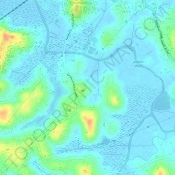
Name: Alapuzha topographic map, elevation, terrain.

Location: Alapuzha, Devalokam, Kottayam, Kerala, India (9.55831 76.53808 9.57082 76.55035)

Average elevation: 10 m

Minimum elevation: -5 m

Maximum elevation: 45 m

Gear up for your next adventure:

📍Handheld GPS Navigators - Reliable satellite navigation for hiking and off-road exploration
🖼️Topographic Map Art - Decorative 3D-effect posters of famous UK peaks and regions
🎒Hiking Backpacks - Comfortable backpacks for day hikes and multi-day treks
⛺Camping Shelters - Emergency and lightweight shelters for outdoor use
🍲Portable Camping Stoves - Fast-boiling stoves for hot meals on remote topographic survey trips

As an Amazon Associate, this site earns from qualifying purchases at no extra cost to you.