
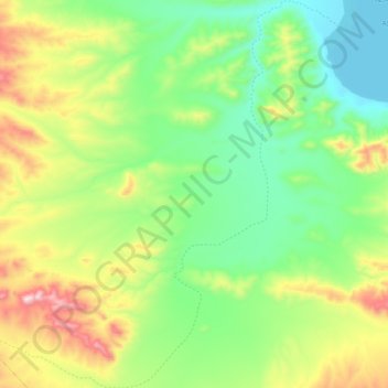
黑石河 topographic map
Interactive map
Click on the map to display elevation.
About this map
Name: 黑石河 topographic map, elevation, terrain.
Location: 黑石河, Garco, Shuanghu County, Nagqu City, Tibet, China (33.69557 88.08967 33.86826 88.28184)
Average elevation: 5,143 m
Minimum elevation: 4,940 m
Maximum elevation: 5,559 m