
Wangerooge topographic map
Interactive map
Click on the map to display elevation.
About this map
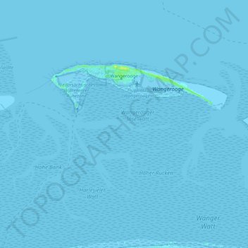
Name: Wangerooge topographic map, elevation, terrain.
Location: Wangerooge, Landkreis Friesland, Lower Saxony, 26486, Germany (53.77381 7.84586 53.79425 7.96967)
Average elevation: 0 m
Minimum elevation: -4 m
Maximum elevation: 11 m