
Al Muhammadiyya topographic map
Interactive map
Click on the map to display elevation.
About this map
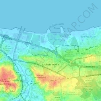
Name: Al Muhammadiyya topographic map, elevation, terrain.
Location: Al Muhammadiyya, Dar El Beida District, Algiers, Algeria (36.72332 3.12801 36.74571 3.17944)
Average elevation: 14 m
Minimum elevation: -3 m
Maximum elevation: 57 m