
Nahunta topographic map
Interactive map
Click on the map to display elevation.
About this map
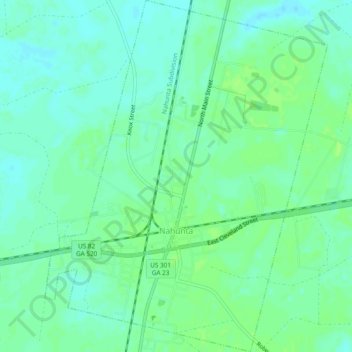
Name: Nahunta topographic map, elevation, terrain.
Location: Nahunta, Brantley County, Georgia, 31553, United States (31.19046 -81.99893 31.23099 -81.96082)
Average elevation: 19 m
Minimum elevation: 13 m
Maximum elevation: 26 m