
LaPlace topographic map
Interactive map
Click on the map to display elevation.
About this map
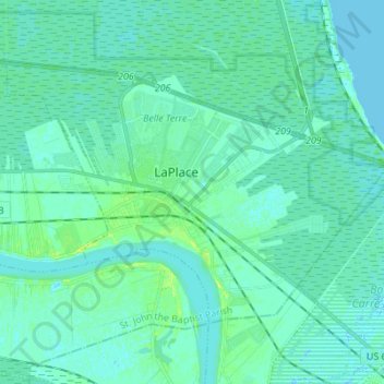
Name: LaPlace topographic map, elevation, terrain.
Average elevation: 3 m
Minimum elevation: -1 m
Maximum elevation: 13 m
LaPlace is located at 30°4′30″N 90°29′6″W / 30.07500°N 90.48500°W / 30.07500; -90.48500 (30.075025, -90.484896) and has an elevation of 10 feet (3.0 m).