
도마교동 topographic map
Interactive map
Click on the map to display elevation.
About this map
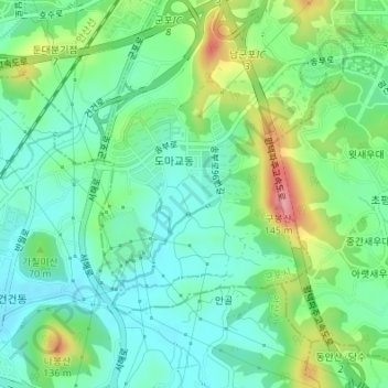
Name: 도마교동 topographic map, elevation, terrain.
Location: 도마교동, Songbu-dong, Gunpo-si, South Korea (37.30504 126.91432 37.32168 126.93296)
Average elevation: 52 m
Minimum elevation: 17 m
Maximum elevation: 129 m