
Xã Phúc Thọ topographic map
Interactive map
Click on the map to display elevation.
About this map
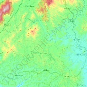
Name: Xã Phúc Thọ topographic map, elevation, terrain.
Location: Xã Phúc Thọ, Lâm Hà District, Lâm Đồng Province, Vietnam (11.75745 108.02175 11.86729 108.19575)
Average elevation: 993 m
Minimum elevation: 776 m
Maximum elevation: 1,625 m
Other topographic maps
Click on a map to view its topography, its elevation and its terrain.