
gmina Słońsk topographic map
Interactive map
Click on the map to display elevation.
About this map
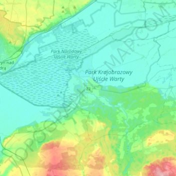
Name: gmina Słońsk topographic map, elevation, terrain.
Location: gmina Słońsk, Sulęcin County, Lubusz Voivodeship, Poland (52.50716 14.64731 52.62216 14.96526)
Average elevation: 34 m
Minimum elevation: 7 m
Maximum elevation: 141 m