

Al Rayyan topographic map
Click on the map to display elevation.
Al Rayyan
The city's name derives from the Arabic word ray, which translates to "irrigation". It was given this name due to its low elevation, allowing it to act as a flood plain during the rainy season and provide a prolonged supply of water to the numerous wild plants and crops that grew in the area.
About this map
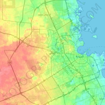
Name: Al Rayyan topographic map, elevation, terrain.
Location: Al Rayyan, Qatar (25.13662 51.27463 25.45662 51.59463)
Average elevation: 21 m
Minimum elevation: -3 m
Maximum elevation: 54 m