
Herzele topographic map
Interactive map
Click on the map to display elevation.
About this map
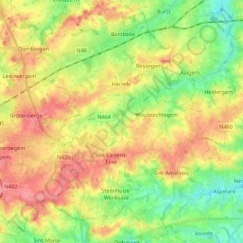
Name: Herzele topographic map, elevation, terrain.
Location: Herzele, East Flanders, Flanders, Belgium (50.82172 3.83775 50.91815 3.94908)
Average elevation: 56 m
Minimum elevation: 20 m
Maximum elevation: 94 m