
Ruteng topographic map
Interactive map
Click on the map to display elevation.
About this map
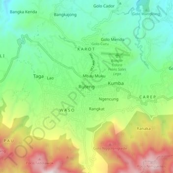
Name: Ruteng topographic map, elevation, terrain.
Location: Ruteng, Manggarai, East Nusa Tenggara, 86511, Indonesia (-8.65107 120.42459 -8.57107 120.50459)
Average elevation: 1,272 m
Minimum elevation: 709 m
Maximum elevation: 2,318 m