
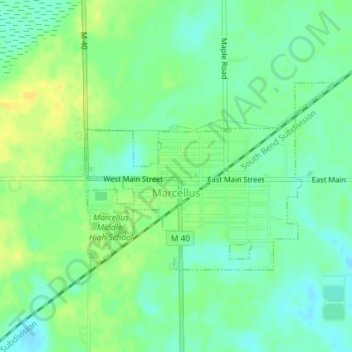
Marcellus topographic map
Interactive map
Click on the map to display elevation.
About this map
Name: Marcellus topographic map, elevation, terrain.
Average elevation: 272 m
Minimum elevation: 262 m
Maximum elevation: 284 m
Other topographic maps
Click on a map to view its topography, its elevation and its terrain.
LaGrange Township
United States > Michigan > Cass County
LaGrange Township, Cass County, Michigan, United States
Average elevation: 257 m