
Wathlingen topographic map
Interactive map
Click on the map to display elevation.
About this map
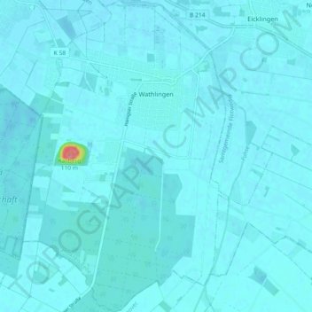
Name: Wathlingen topographic map, elevation, terrain.
Average elevation: 44 m
Minimum elevation: 39 m
Maximum elevation: 131 m
Other topographic maps
Click on a map to view its topography, its elevation and its terrain.
Celle
Germany > Lower Saxony > Landkreis Celle
Celle, Landkreis Celle, Lower Saxony, Germany
Average elevation: 48 m
Lohheide
Germany > Lower Saxony > Landkreis Celle > Lohheide
Lohheide, Landkreis Celle, Lower Saxony, Germany
Average elevation: 71 m
Faßberg
Germany > Lower Saxony > Landkreis Celle
Faßberg, Landkreis Celle, Lower Saxony, 29328, Germany
Average elevation: 77 m
Klein Hehlen
Germany > Lower Saxony > Landkreis Celle > Celle
Klein Hehlen, Celle, Landkreis Celle, Lower Saxony, Germany
Average elevation: 42 m