
Fayette County topographic map
Interactive map
Click on the map to display elevation.
About this map
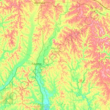
Name: Fayette County topographic map, elevation, terrain.
Location: Fayette County, Alabama, United States (33.51992 -87.95209 33.91987 -87.42320)
Average elevation: 145 m
Minimum elevation: 75 m
Maximum elevation: 244 m
Other topographic maps
Click on a map to view its topography, its elevation and its terrain.
Howard
United States > Alabama > Fayette County
Howard, Fayette County, Alabama, United States
Average elevation: 191 m