
Mount Bona topographic map
Interactive map
Click on the map to display elevation.
About this map
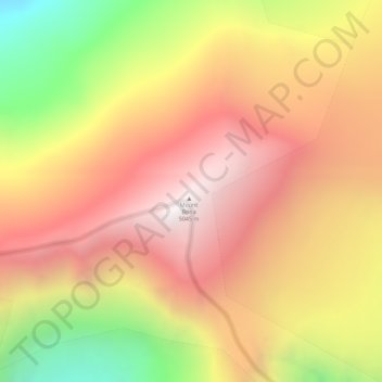
Name: Mount Bona topographic map, elevation, terrain.
Location: Mount Bona, Copper River, Alaska, United States (61.38621 -141.74960 61.38631 -141.74950)
Average elevation: 4,407 m
Minimum elevation: 3,549 m
Maximum elevation: 5,011 m
Other topographic maps
Click on a map to view its topography, its elevation and its terrain.
Glennallen
United States > Alaska > Copper River
Glennallen, Copper River, Alaska, United States
Average elevation: 581 m