
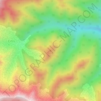
1710 topographic map
Interactive map
Click on the map to display elevation.
About this map
Name: 1710 topographic map, elevation, terrain.
Average elevation: 1,590 m
Minimum elevation: 1,327 m
Maximum elevation: 1,889 m
Other topographic maps
Click on a map to view its topography, its elevation and its terrain.
Upper Nerwa
Upper Nerwa, Diraluk Subdistrict, Amadiya District, Duhok Governorate, Iraqi Kurdistan Region, Iraq
Average elevation: 1,621 m