
Fredonia topographic map
Interactive map
Click on the map to display elevation.
About this map
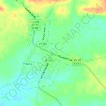
Name: Fredonia topographic map, elevation, terrain.
Location: Fredonia, Caldwell County, Kentucky, United States (37.20058 -88.06911 37.21928 -88.04726)
Average elevation: 133 m
Minimum elevation: 116 m
Maximum elevation: 156 m