
Bonnieville topographic map
Interactive map
Click on the map to display elevation.
About this map
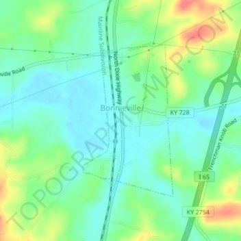
Name: Bonnieville topographic map, elevation, terrain.
Location: Bonnieville, Hart County, Kentucky, 42713, United States (37.36872 -85.90836 37.38573 -85.89565)
Average elevation: 212 m
Minimum elevation: 190 m
Maximum elevation: 259 m
Other topographic maps
Click on a map to view its topography, its elevation and its terrain.
Canmer
United States > Kentucky > Hart County
Canmer, Hart County, Kentucky, United States
Average elevation: 185 m