

Mount Raleigh topographic map
Click on the map to display elevation.
Mount Raleigh
Mount Raleigh, elevation 3,132 m (10,276 ft), is one of the principal summits of the Pacific Ranges of the Coast Mountains of southern British Columbia in Canada. It is located just southeast of the confluence of the Southgate and Bishop Rivers, northeast of the head of Bute Inlet, and is the highest summit south of the Bishop River's divide with the Lillooet River at Ring Pass, which is at the southeastern edge of the Lillooet Icefield and just north of the Pemberton Icecap. It is also the highest peak south of the pass between the upper basins of Chilko Lake and the Taseko Lakes, just north of which is Monmouth Mountain at 3,182 m (10,440 ft) (see Tsʼilʔos Provincial Park).
About this map
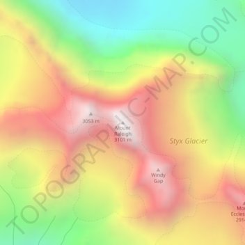
Name: Mount Raleigh topographic map, elevation, terrain.
Average elevation: 2,414 m
Minimum elevation: 1,694 m
Maximum elevation: 3,109 m