Geolocate

Donington topographic map

Click on the map to display elevation.

About this map
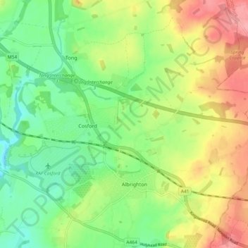
Name: Donington topographic map, elevation, terrain.

Location: Donington, Cosford, Shropshire, England, United Kingdom (52.63385 -2.32614 52.66368 -2.23471)

Average elevation: 100 m

Minimum elevation: 61 m

Maximum elevation: 156 m

Shropshire trails, hiking, mountain biking, running and outdoor activities

Gear up for your next adventure:

📷Camera Straps - Secure straps for carrying cameras while walking
🐕Hiking Dog Harnesses - Rugged harnesses for taking your companion on mountain trails
🕶️Glacier Goggles - Maximum protection for high-altitude snow topography
❄️Walking Crampons - Added traction for icy slopes and winter peak bagging
🎒Multi-day Trekking Packs - Large capacity backpacks for wild camping and long-distance trails

As an Amazon Associate, this site earns from qualifying purchases at no extra cost to you.