
Grouse Mountain topographic map
Interactive map
Click on the map to display elevation.
About this map
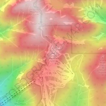
Name: Grouse Mountain topographic map, elevation, terrain.
Average elevation: 968 m
Minimum elevation: 340 m
Maximum elevation: 1,313 m
Other topographic maps
Click on a map to view its topography, its elevation and its terrain.
Mackay Creek
Canada > British Columbia > District of North Vancouver
Mackay Creek, District of North Vancouver, Metro Vancouver Regional District, British Columbia, V7R 4P6, Canada
Average elevation: 331 m