
Schwandorf topographic map
Interactive map
Click on the map to display elevation.
About this map
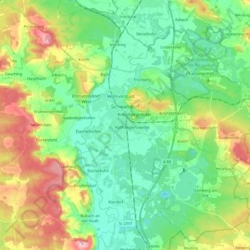
Name: Schwandorf topographic map, elevation, terrain.
Location: Schwandorf, Landkreis Schwandorf, Bavaria, 92421, Germany (49.24796 11.98973 49.38262 12.21086)
Average elevation: 396 m
Minimum elevation: 333 m
Maximum elevation: 527 m