Geolocate

Bourke topographic map

Click on the map to display elevation.

About this map
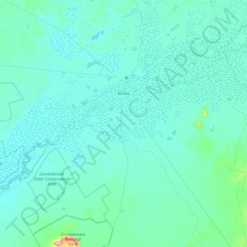
Name: Bourke topographic map, elevation, terrain.

Location: Bourke, Bourke Shire Council, New South Wales, 2840, Australia (-30.54229 145.51414 -29.84220 146.47136)

Average elevation: 117 m

Minimum elevation: 96 m

Maximum elevation: 476 m

Other topographic maps

Click on a map to view its topography, its elevation and its terrain.

Gear up for your next adventure:

📚UK Hiking Guidebooks - Detailed route descriptions for the Lake District, Peaks, and Highlands
📸Action Camera Chest Mounts - Record your ascent following topographic paths hands-free
🪓Outdoor Multitools - Versatile tools for hiking and camping
🛰️Satellite Messengers - Emergency communication devices for areas without mobile signal
🦶Anti-Blister Balms - Protect your feet before long topographic expeditions

As an Amazon Associate, this site earns from qualifying purchases at no extra cost to you.