
Villa Guerrero, Estado de México, México topographic map
Interactive map
Click on the map to display elevation.
About this map
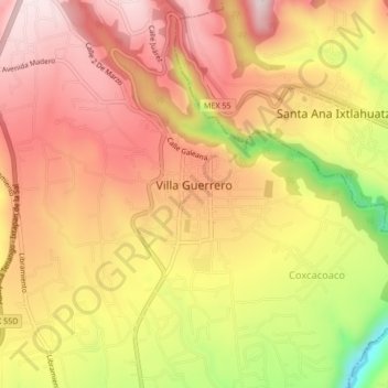
Name: Villa Guerrero, Estado de México, México topographic map, elevation, terrain.
Average elevation: 2,129 m
Minimum elevation: 1,853 m
Maximum elevation: 2,294 m