
High Gate topographic map
Interactive map
Click on the map to display elevation.
About this map
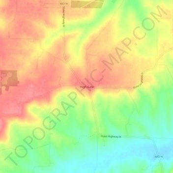
Name: High Gate topographic map, elevation, terrain.
Location: High Gate, Maries County, Missouri, United States (38.13782 -91.69488 38.17782 -91.65488)
Average elevation: 304 m
Minimum elevation: 262 m
Maximum elevation: 337 m