
Dolok Simanukmanuk topographic map
Interactive map
Click on the map to display elevation.
About this map
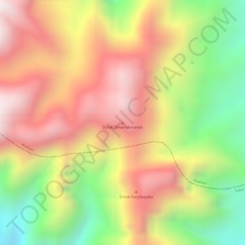
Name: Dolok Simanukmanuk topographic map, elevation, terrain.
Location: Dolok Simanukmanuk, Pematang Siantar, North Sumatra, Indonesia (2.57565 99.10925 2.57575 99.10935)
Average elevation: 1,785 m
Minimum elevation: 1,370 m
Maximum elevation: 2,104 m
Other topographic maps
Click on a map to view its topography, its elevation and its terrain.
Pematang Siantar
Indonesia > North Sumatra > Pematang Siantar
Pematang Siantar, Kota Pematang Siantar–Simalungun, North Sumatra, Indonesia
Average elevation: 420 m