

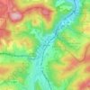
Winterberg topographic map
Click on the map to display elevation.
Winterberg
Winterberg experiences a humid continental climate (Köppen Dfb) like most of Germany, however also bordering on subarctic climate (Dfc), thanks to its altitude, with only having an average temperature above 10 °C and September only being barely above it. The summers are short and cool, while the winters are cold, but warmer than winters in the Alps or in the Ore Mountains. The growing season nonethless lasts for only 100 days.
About this map
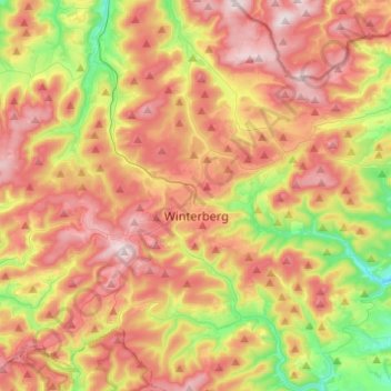
Name: Winterberg topographic map, elevation, terrain.
Average elevation: 628 m
Minimum elevation: 391 m
Maximum elevation: 844 m
Other topographic maps
Click on a map to view its topography, its elevation and its terrain.

Recklinghausen (Sauerland)
Germany > North Rhine-Westphalia > Hochsauerlandkreis > Sundern
Average elevation: 332 m
Gellinghausen
Germany > North Rhine-Westphalia > Hochsauerlandkreis > Schmallenberg > Westernbödefeld
Average elevation: 565 m
Altastenberg
Germany > North Rhine-Westphalia > Hochsauerlandkreis > Winterberg
Average elevation: 708 m
Ruhrquelle
Germany > North Rhine-Westphalia > Hochsauerlandkreis > Winterberg > Grönebach
Average elevation: 645 m

Niedersfeld
Germany > North Rhine-Westphalia > Hochsauerlandkreis > Winterberg
Average elevation: 655 m
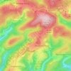
Lenneplätze
Germany > North Rhine-Westphalia > Hochsauerlandkreis > Winterberg > Neuastenberg
Average elevation: 699 m
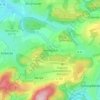
Wormbach
Germany > North Rhine-Westphalia > Hochsauerlandkreis > Schmallenberg
Average elevation: 434 m
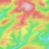
Neuastenberg
Germany > North Rhine-Westphalia > Hochsauerlandkreis > Winterberg
Average elevation: 685 m
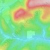
Hachen
Germany > North Rhine-Westphalia > Hochsauerlandkreis > Sundern > Hachen
Average elevation: 293 m