Geolocate

Slacks Creek topographic map

Click on the map to display elevation.

About this map

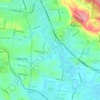
Name: Slacks Creek topographic map, elevation, terrain.

Location: Slacks Creek, Logan City, Queensland, Australia (-27.66227 153.11576 -27.61447 153.16412)

Average elevation: 31 m

Minimum elevation: 0 m

Maximum elevation: 122 m

Gear up for your next adventure:

👟Heavy Duty Boot Laces - Always carry a spare for your hiking footwear
🔋Power Banks - Portable chargers for long outdoor trips
🔋Rechargeable Batteries - Eco-friendly power for headlamps and older GPS units
📍Handheld GPS Navigators - Reliable satellite navigation for hiking and off-road exploration
GPS Outdoor Watches - Watches with GPS tracking for hiking and exploration

As an Amazon Associate, this site earns from qualifying purchases at no extra cost to you.