
Lang River topographic map
Interactive map
Click on the map to display elevation.
About this map
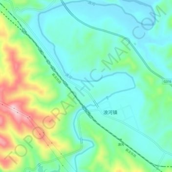
Name: Lang River topographic map, elevation, terrain.
Location: Lang River, Langhe, Danjiangkou City, Shiyan, Hubei, China (32.40418 111.24011 32.44376 111.27169)
Average elevation: 219 m
Minimum elevation: 148 m
Maximum elevation: 407 m