

Goodland topographic map
Click on the map to display elevation.
Goodland
Goodland is located at 39°21′3″N 101°42′37″W / 39.35083°N 101.71028°W / 39.35083; -101.71028 (39.3508330, −101.7101722) at an elevation of 3,681 feet (1,122 m). It lies on the south side of the Middle Fork of Sappa Creek, part of the Republican River watershed, in the High Plains region of the Great Plains. Located at the intersection of Interstate 70 and K-27 in northwest Kansas, Goodland is roughly 17 miles (27 km) east of the Colorado state line, 176 miles east-southeast of Denver, 265 miles (426 km) northwest of Wichita, and 383 miles (616 km) west of Kansas City.
About this map
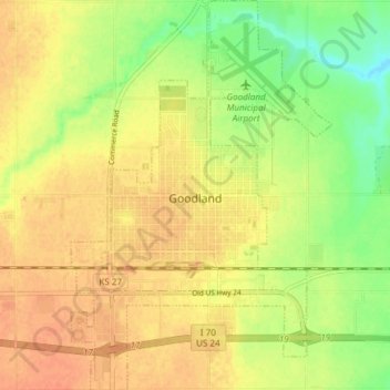
Name: Goodland topographic map, elevation, terrain.
Location: Goodland, Sherman County, Kansas, 67735, United States (39.32218 -101.73418 39.38030 -101.68377)
Average elevation: 1,120 m
Minimum elevation: 1,097 m
Maximum elevation: 1,134 m