
Banasura Sagar Dam topographic map
Interactive map
Click on the map to display elevation.
About this map
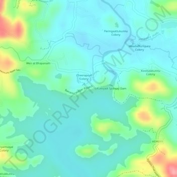
Name: Banasura Sagar Dam topographic map, elevation, terrain.
Location: Banasura Sagar Dam, Vythiri, Wayanad, Kerala, 670575, India (11.67117 75.95642 11.67127 75.95652)
Average elevation: 749 m
Minimum elevation: 718 m
Maximum elevation: 838 m
Other topographic maps
Click on a map to view its topography, its elevation and its terrain.