
Nam Sách District topographic map
Interactive map
Click on the map to display elevation.
About this map
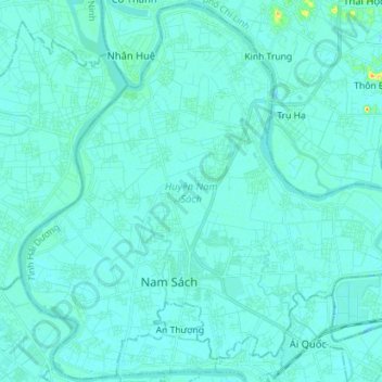
Name: Nam Sách District topographic map, elevation, terrain.
Location: Nam Sách District, Hải Dương Province, Vietnam (20.95671 106.27194 21.08688 106.41352)
Average elevation: 4 m
Minimum elevation: -1 m
Maximum elevation: 43 m
Other topographic maps
Click on a map to view its topography, its elevation and its terrain.