Geolocate

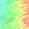
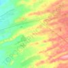
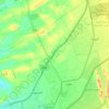
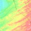
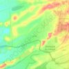
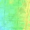
Ni'mah topographic map

Click on the map to display elevation.

About this map

Name: Ni'mah topographic map, elevation, terrain.

Location: Ni'mah, Zakhir, Al Ain, Abu Dhabi Emirate, United Arab Emirates (24.09341 55.68615 24.13341 55.72615)

Average elevation: 243 m

Minimum elevation: 231 m

Maximum elevation: 273 m

Other topographic maps

Click on a map to view its topography, its elevation and its terrain.
Zakhir

United Arab Emirates > Abu Dhabi Emirate > Al Ain

Average elevation: 240 m

Mazyad

United Arab Emirates > Abu Dhabi Emirate > Al Ain

Average elevation: 328 m

Ni'mah

United Arab Emirates > Abu Dhabi Emirate > Al Ain

Average elevation: 246 m

Sa'

United Arab Emirates > Abu Dhabi Emirate > Al Ain

Average elevation: 399 m

Nahil

United Arab Emirates > Abu Dhabi Emirate > Al Ain

Average elevation: 224 m

Gear up for your next adventure:

📕Outdoor Navigation Books - Learn traditional and modern navigation techniques
☕Insulated Travel Mugs - Keep drinks hot while surveying the landscape from a summit
🌦️Portable Weather Meters - Handheld tools for monitoring weather conditions
🐕Hiking Dog Harnesses - Rugged harnesses for taking your companion on mountain trails
🔋Lithium AA Batteries - Long-lasting power that performs well in cold mountain weather

As an Amazon Associate, this site earns from qualifying purchases at no extra cost to you.