
Dötlingen topographic map
Interactive map
Click on the map to display elevation.
About this map
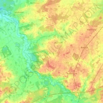
Name: Dötlingen topographic map, elevation, terrain.
Location: Dötlingen, Landkreis Oldenburg, Lower Saxony, 27801, Germany (52.90396 8.31425 53.02333 8.51714)
Average elevation: 31 m
Minimum elevation: 8 m
Maximum elevation: 51 m