
Shiloh topographic map
Interactive map
Click on the map to display elevation.
About this map
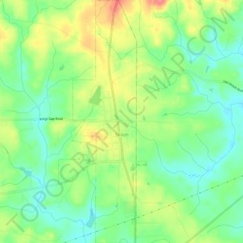
Name: Shiloh topographic map, elevation, terrain.
Location: Shiloh, Harris County, Georgia, United States of America (32.78789 -84.71148 32.83763 -84.69243)
Average elevation: 264 m
Minimum elevation: 234 m
Maximum elevation: 309 m