
Adnet topographic map
Interactive map
Click on the map to display elevation.
About this map
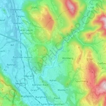
Name: Adnet topographic map, elevation, terrain.
Location: Adnet, Bezirk Hallein, Salzburg, 5421, Austria (47.67354 13.11370 47.76760 13.20821)
Average elevation: 662 m
Minimum elevation: 419 m
Maximum elevation: 1,372 m