Geolocate

Gray topographic map

Click on the map to display elevation.

About this map
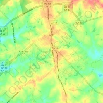
Name: Gray topographic map, elevation, terrain.

Location: Gray, Jones County, Georgia, United States (32.97390 -83.58562 33.02345 -83.50667)

Average elevation: 167 m

Minimum elevation: 136 m

Maximum elevation: 203 m

Other topographic maps

Click on a map to view its topography, its elevation and its terrain.

Haddock

United States > Georgia > Jones County

Average elevation: 159 m

Gear up for your next adventure:

🥫Expedition Meals - Lightweight, high-calorie nutrition for long-distance hikers
🔦Keychain LED Torches - Emergency backup light for finding gear in your pack
🩹Hiking First Aid Kits - Compact medical kits tailored for trail injuries and emergencies
🕶️Glacier Goggles - Maximum protection for high-altitude snow topography
👖Packable Overtrousers - Quick-deploy rain protection for legs in sudden storms

As an Amazon Associate, this site earns from qualifying purchases at no extra cost to you.