
Mursley topographic map
Interactive map
Click on the map to display elevation.
About this map
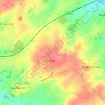
Name: Mursley topographic map, elevation, terrain.
Location: Mursley, Buckinghamshire, England, United Kingdom (51.92992 -0.83759 51.98165 -0.77109)
Average elevation: 128 m
Minimum elevation: 88 m
Maximum elevation: 163 m