Geolocate

Godini topographic map

Click on the map to display elevation.

About this map
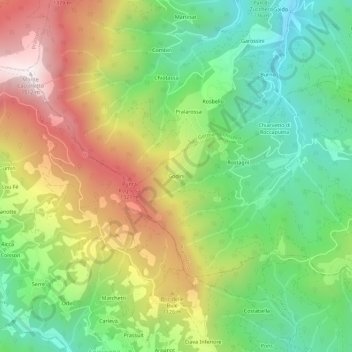
Name: Godini topographic map, elevation, terrain.

Location: Godini, Prarostino, Torino, Piedmont, 10065, Italy (44.84354 7.21523 44.88354 7.25523)

Average elevation: 916 m

Minimum elevation: 498 m

Maximum elevation: 1,511 m

Gear up for your next adventure:

🗺️Scratch-off Peak Maps - Track your progress climbing Munros or Wainwrights
🧗Locking Carabiners - Secure gear to your pack or for light technical use
🌂Windproof Trekking Umbrellas - Surprising but effective rain protection on low-wind trails
🛌Sleeping Bags - Warm and packable sleeping bags for outdoor nights
📱Rugged Phone Cases - Heavy-duty protection for smartphones used as secondary GPS tools

As an Amazon Associate, this site earns from qualifying purchases at no extra cost to you.