Geolocate

Quinton topographic map

Click on the map to display elevation.

About this map

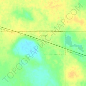
Name: Quinton topographic map, elevation, terrain.

Location: Quinton, Division No. 10, Saskatchewan, Canada (51.37965 -104.42085 51.38702 -104.39752)

Average elevation: 634 m

Minimum elevation: 619 m

Maximum elevation: 644 m

Gear up for your next adventure:

🗺️Ordnance Survey Maps - Essential paper maps for hiking across the UK national parks
🗺️Scratch-off Peak Maps - Track your progress climbing Munros or Wainwrights
📻Hand-Crank Emergency Radios - Stay updated on weather warnings in remote areas
🧼Biodegradable Soap - Leave-no-trace hygiene for multi-day mountain treks
🧢Thermal Beanie Hats - Prevent heat loss from the head in windy summit conditions

As an Amazon Associate, this site earns from qualifying purchases at no extra cost to you.