
Les Saisies topographic map
Interactive map
Click on the map to display elevation.
About this map
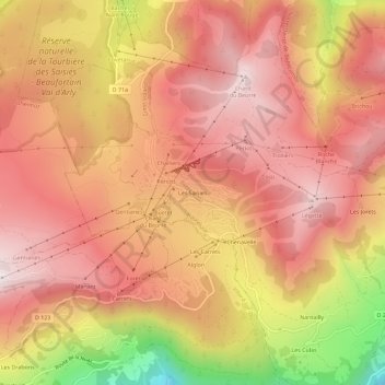
Name: Les Saisies topographic map, elevation, terrain.
Average elevation: 1,623 m
Minimum elevation: 1,076 m
Maximum elevation: 1,898 m
Other topographic maps
Click on a map to view its topography, its elevation and its terrain.
Nantailly
France > Auvergne-Rhône-Alpes > Savoy > Hauteluce
Nantailly, Hauteluce, Albertville, Savoy, Auvergne-Rhône-Alpes, Metropolitan France, 73620, France
Average elevation: 1,326 m