
Thank you for supporting this site ❤️
Make a donation
Make a donation
Gear up for your next adventure:
As an Amazon Associate, this site earns from qualifying purchases at no extra cost to you.
Amal topographic map
Click on the map to display elevation.
Thank you for supporting this site ❤️
Make a donation
Make a donation
Gear up for your next adventure:
As an Amazon Associate, this site earns from qualifying purchases at no extra cost to you.
About this map
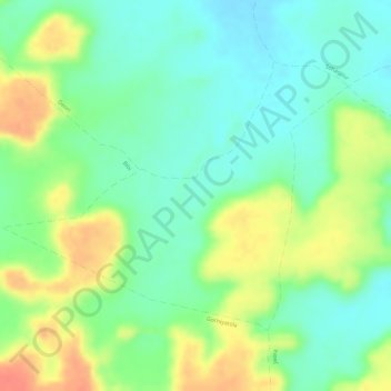
Name: Amal topographic map, elevation, terrain.
Location: Amal, Lakhnadon Tahsil, Seoni District, Madhya Pradesh, India (22.55783 79.47927 22.57642 79.50519)
Average elevation: 647 m
Minimum elevation: 624 m
Maximum elevation: 679 m
Thank you for supporting this site ❤️
Make a donation
Make a donation
Gear up for your next adventure:
As an Amazon Associate, this site earns from qualifying purchases at no extra cost to you.