
Gemeinde Umhausen topographic map
Interactive map
Click on the map to display elevation.
About this map
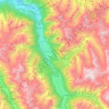
Name: Gemeinde Umhausen topographic map, elevation, terrain.
Location: Gemeinde Umhausen, Bezirk Imst, Tyrol, 6441, Austria (47.07770 10.82521 47.18984 11.06490)
Average elevation: 2,063 m
Minimum elevation: 731 m
Maximum elevation: 3,251 m