Geolocate

Caddo Mills topographic map

Click on the map to display elevation.

About this map

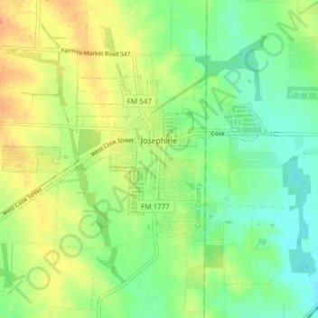
Name: Caddo Mills topographic map, elevation, terrain.

Location: Caddo Mills, Collin County, Texas, United States (33.04080 -96.35564 33.07396 -96.28009)

Average elevation: 184 m

Minimum elevation: 167 m

Maximum elevation: 205 m

Gear up for your next adventure:

🥾Hiking Boot Waterproofing Wax - Maintain the lifespan of your leather trekking boots
🌦️Portable Weather Meters - Handheld tools for monitoring weather conditions
🧴Tick Removal Tools - Small, essential health tool for UK woodland and moorland
🥼Base Layers - Thermal base layers for temperature regulation
🍳Camping Stoves - Compact stoves for outdoor cooking

As an Amazon Associate, this site earns from qualifying purchases at no extra cost to you.