
Reichertsheim topographic map
Interactive map
Click on the map to display elevation.
About this map
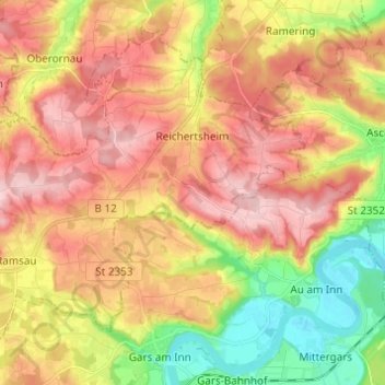
Name: Reichertsheim topographic map, elevation, terrain.
Average elevation: 512 m
Minimum elevation: 405 m
Maximum elevation: 603 m
Other topographic maps
Click on a map to view its topography, its elevation and its terrain.
Frixing
Germany > Bavaria > Landkreis Mühldorf am Inn > Erharting
Frixing, Erharting, Rohrbach (VGem), Landkreis Mühldorf am Inn, Bavaria, 84453, Germany
Average elevation: 412 m