
Uña topographic map
Interactive map
Click on the map to display elevation.
About this map
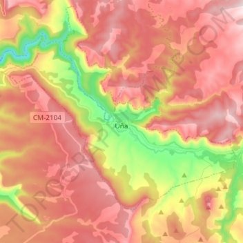
Name: Uña topographic map, elevation, terrain.
Location: Uña, Cuenca, Castile-La Mancha, 16152, Spain (40.19099 -2.04213 40.25853 -1.92008)
Average elevation: 1,324 m
Minimum elevation: 1,034 m
Maximum elevation: 1,518 m